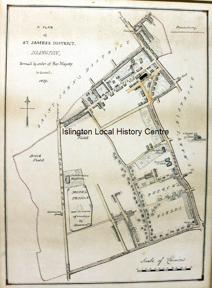
- TitleA Plan of St James's District, Islington [image]
- Year of publication1839
- Dimensions28 x 20 cms
- MaterialMapPlan
- NotesSlightly dirty
Abstract
Lightly coloured map of the parish of St James from Chalk (later Caledonian) Road where the model prison is under construction among the brickfields, to Liverpool Road.
- Keywords
- Geographical keyword
- Persons keyword
| Copy number | Shelfmark | Loan category | Site | Loan status |
|---|---|---|---|---|
| 510317 | U916 | Reference (not for loan) | ILHC | available |